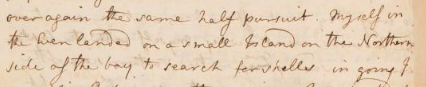
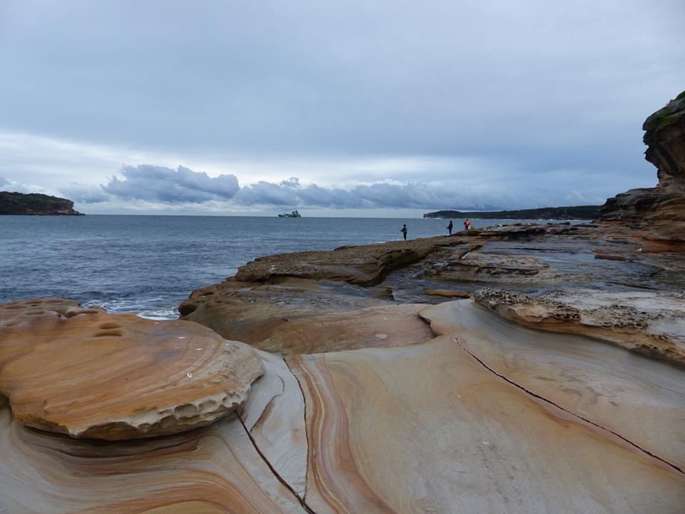
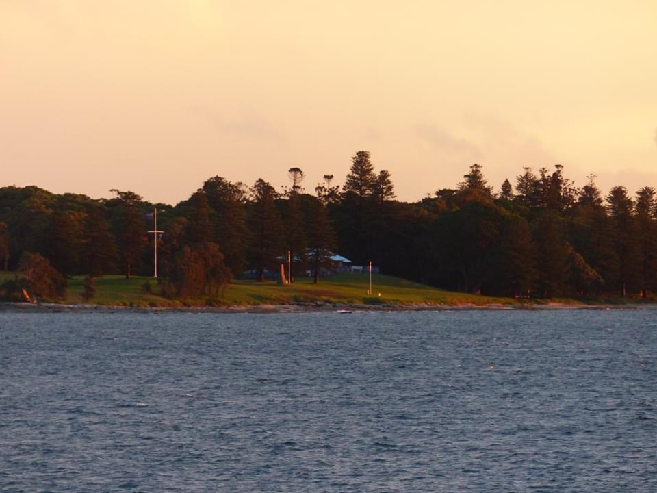
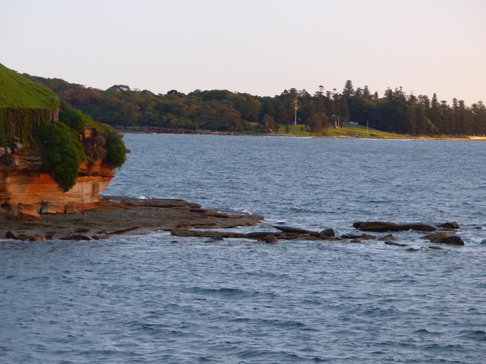
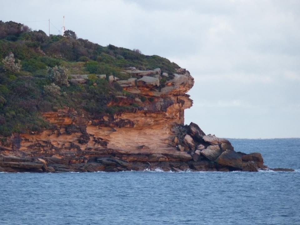
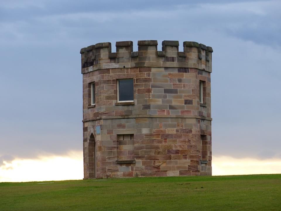
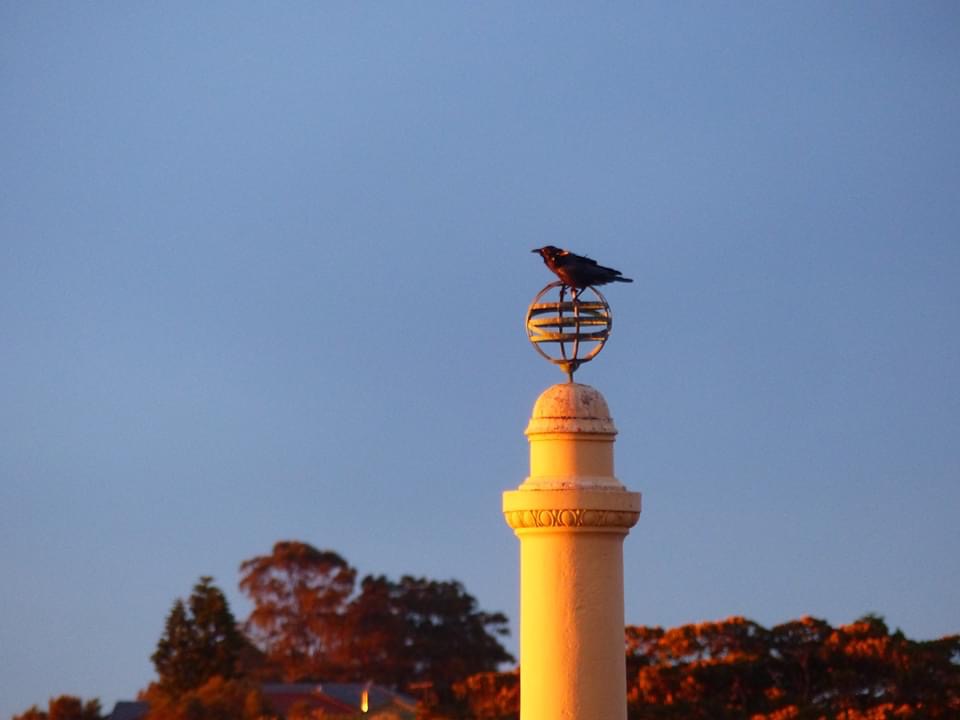
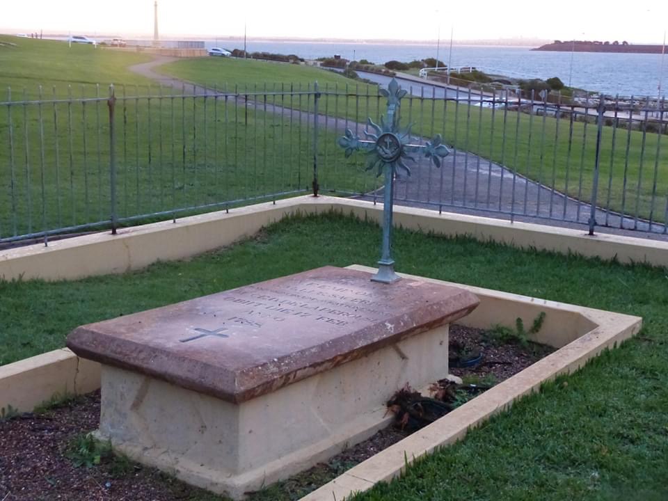
Myself in the Even landed on a small Island on the Northern side of the bay to search for shells” - Joseph Banks 30th April 1770…
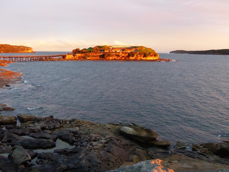
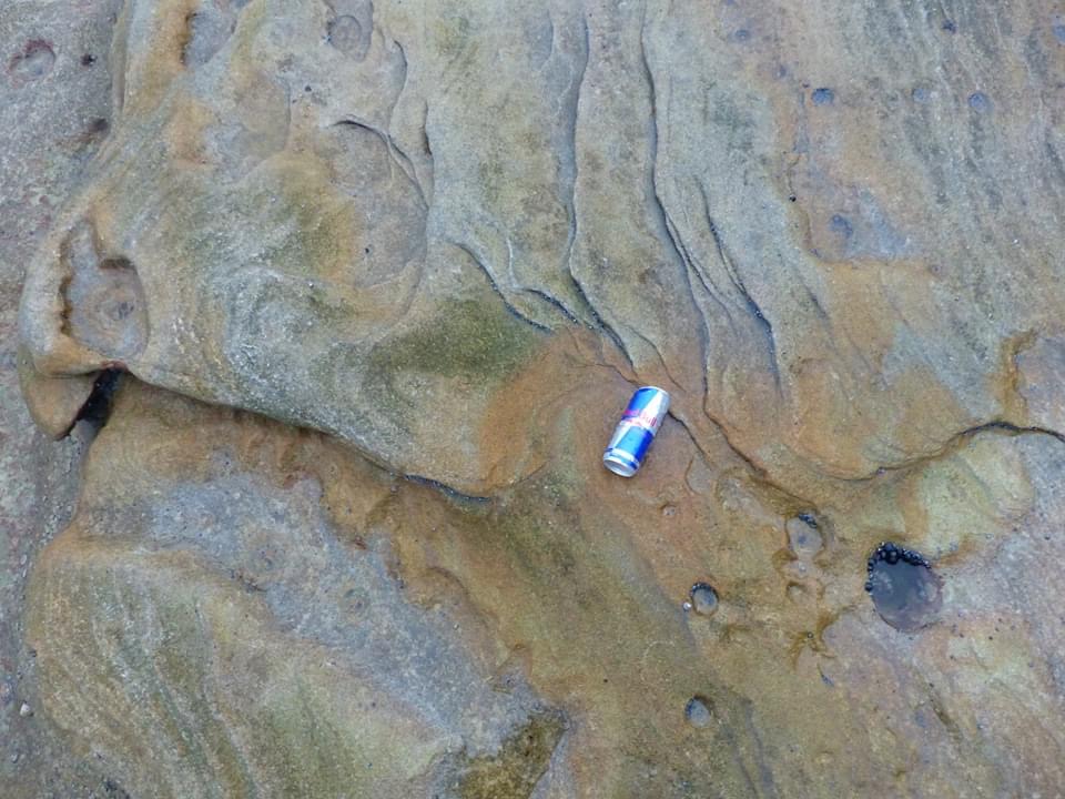
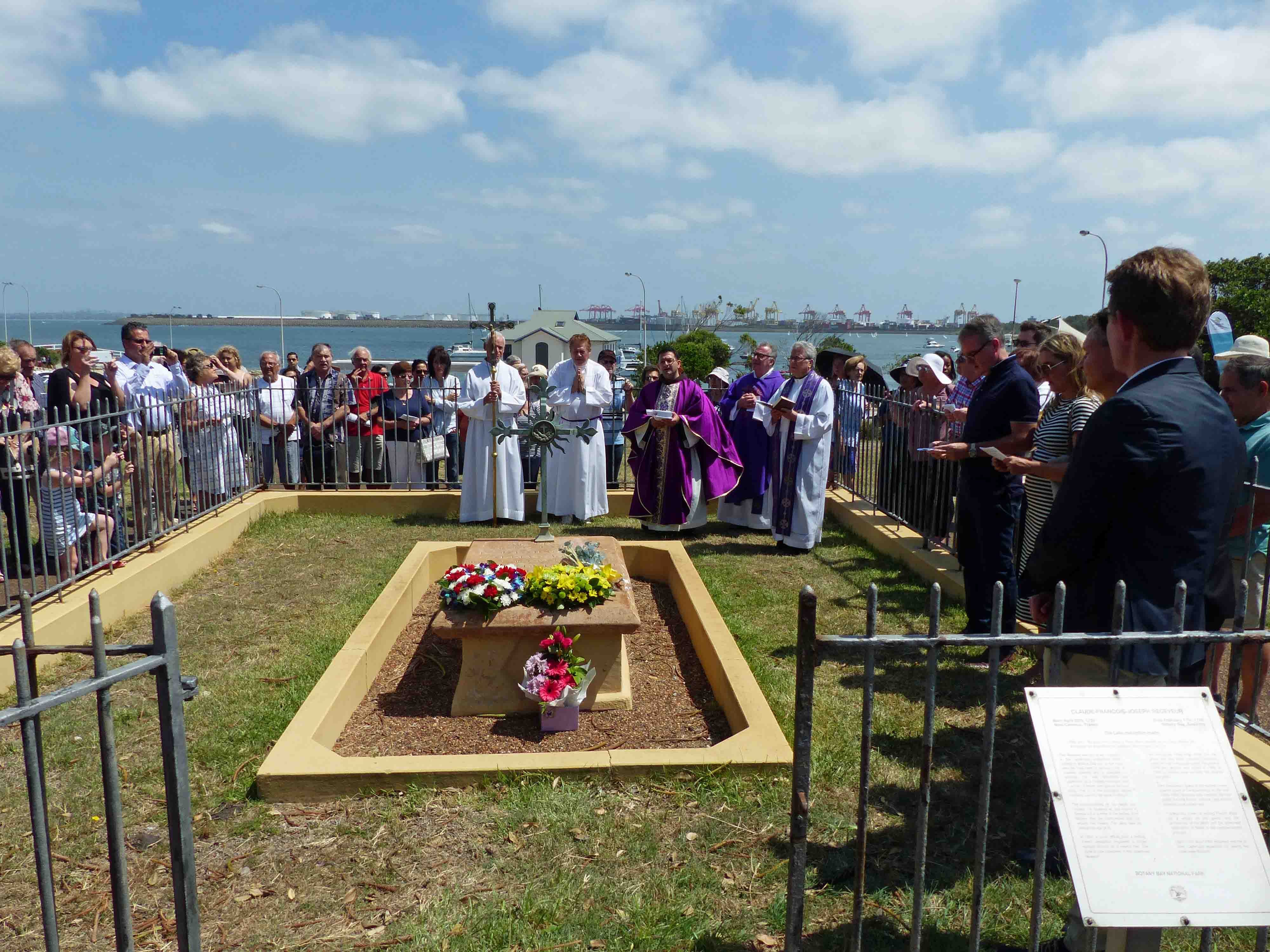
so in the ‘even’ today the following could be found at this small island that Cook later recorded as Bare: fishers, dog walkers, photographers, along with litter, and weeds such as Bitou Bush. Unfortunately there were very few shells. Although Bare Island forms part of Kamay Botany Bay National Park the rock platforms are not protected. (Photos below of Bare Island, The Heads of Botany Bay, Henry Head, Kurnell, the armillary sphere atop the Laperouse Monument, Macquarie Watchtower, as well the grave of Receveur another young and enthusiastic scientist of the Enlightenment buried at La Perouse 17 February 1788)
The Annual Receveur Mass, hosted by St Andrews, Malabar, will be held outside the Laperouse Museum at 11am on the 16th February. Seating is available in the marque sponsored by Randwick City Council. A Sausage Sizzle is provided by the Lions Club.
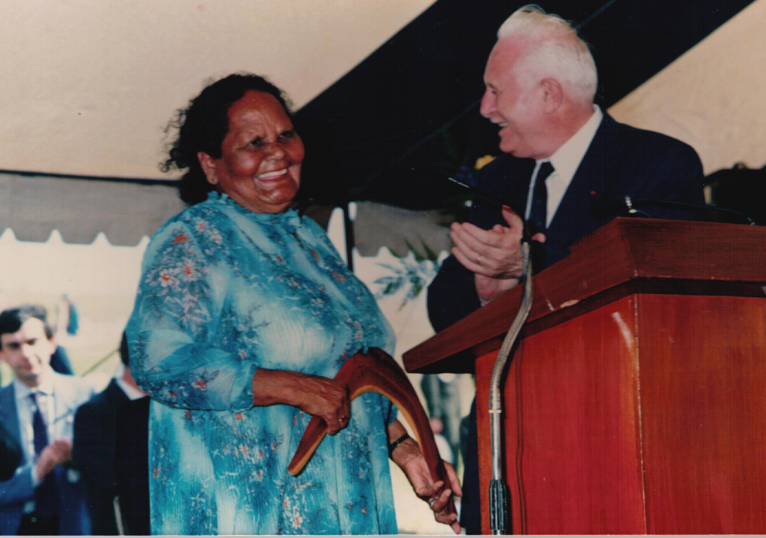
One of La Perouse’s most respected and well-known identities, Laddie Timbery died on July 23. Laddie was known as the La Perouse Boomerang Man. He used to travel from Nowra every weekend with his boomerangs and other works and display and demonstrate them around the La Perouse Loop up until its redevelopment in 2011.
“Highly regarded and renowned around the world for his superb Aboriginal arts and crafts, he was also a devoted family man and a generous soul who would do anything for anyone. Highly respected in the South Coast community he was always happy to “have a yarn” and pass on his vast knowledge.”
A man with strong beliefs who was willing to offer an opinion on many different topics, he always had a smile on his face and will be remembered as one of the “genuine” nice guys. He had a vast knowledge of culture and history, and shared that through visits too numerous local schools.
Hubert “Laddie” Thomas Timbery was born at La Perouse on February 12, 1941.
He belonged to the Dharawal language group which spans from Sydney to Jervis Bay.
As a youngster, living with his Aunty Marge (photo) and Uncle John he attended La Perouse Public School and as a young man spent his time between the Sydney seaside suburb and the South Coast.
It was while he lived in Nowra in the mid to late 1950s, as a teenager, he met Ann Cullen who would later become his wife. After a four year courtship the couple married in the All Saints Anglican Church in Nowra on August 12, 1961. They would have four children, daughters Debra and Kerry who were both born in Nowra, and sons Paul and Jeffery, born in Sydney.
For many years, especially in the early part of his working life, he worked as a brickies’ labourer up and down the coast and then later drove and maintained trucks for Sydney fuel company Total.
In 1981 he and Ann “retired” to the Shoalhaven, but there wasn’t much rest as with help from his mother Rose and her partner Laddo they opened up an Aboriginal Arts and Craft Centre adjacent to the then Lady Denman Museum at Huskisson.
From there for the next 38 years he built up a reputation as an artist, legendary boomerang maker and thrower.
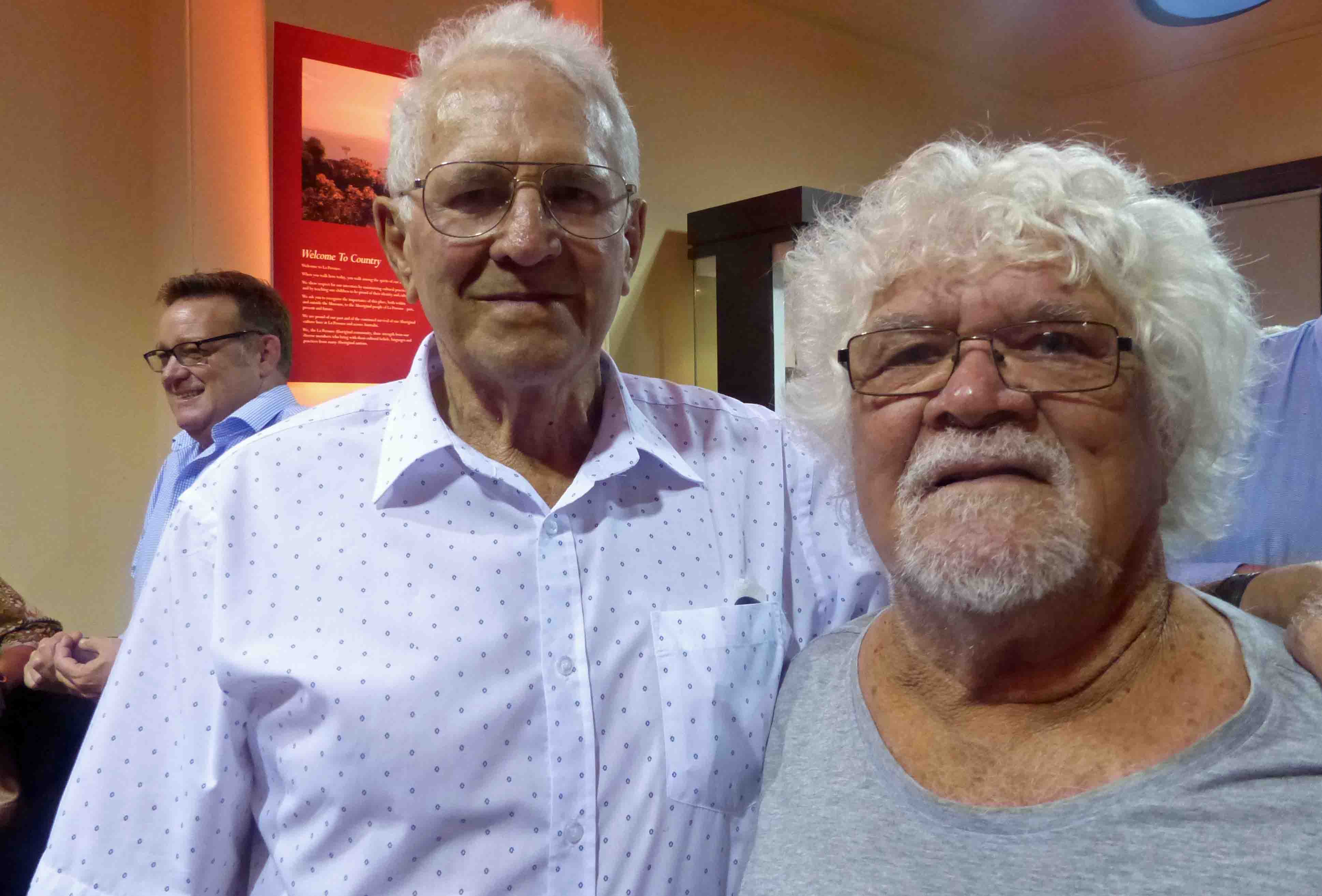
(Photo:Laddie with John Cann in January 2018 at the La Perouse Museum)
It was a career that saw him travel not only to almost every part of Australia but the world, with many visits to Canada and Switzerland, while his arts and crafts have also gone worldwide.
He also provided artwork used at the equestrian centre for the Sydney 2000 Olympics.
“There are pieces of his artwork everywhere,” said his eldest daughter Debra.
“You can’t really go anywhere major without seeing some of his artworks or a photo of him in his now famous pose, throwing a boomerang.”
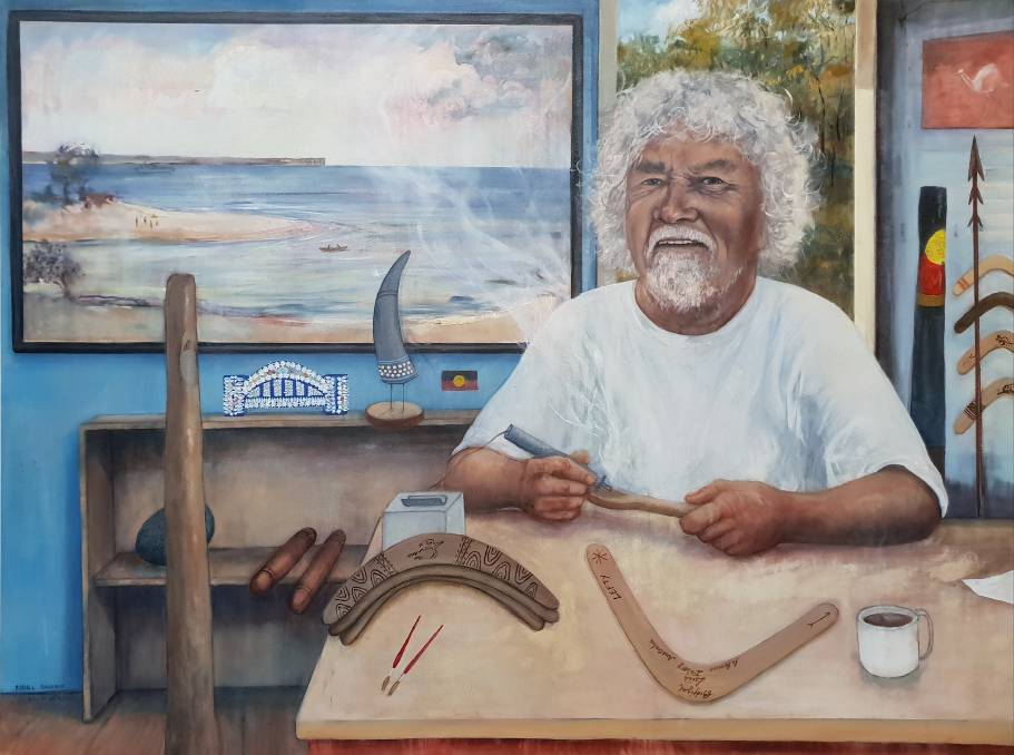
(Photo: Randall Sinnamon’s portrait of Laddie which was a recent finalist in the Moran Portrait Prize)
Laddie and his family make the traditional original returning boomerang from mangrove knee, as it has a natural bend.
He used the highly regarded and unique craftsmanship of “burning in”, to decorate a large variety of artefacts and artworks, a technique his family has been using for hundreds of years, and one the family continues with today.
The family is also well-known for its incredible shell work with his great grandmother Emma Timbery’s work sent to England for Queen Victoria in the early 1900s.
In between work Laddie was also a keen and accomplished rugby league player, taking the field until the ripe old age of 41.
He was also a very keen and talented golfer, becoming an A grade champion and also proudly representing the Indigenous golf team in New Zealand and Hawaii.
“Everyone just knew Dad,” youngest son Jeffery said.
He lost his love Ann 16 years ago in 2004, after more than 40 years of marriage but continued his work at the now Jervis Bay Maritime Museum with other family members with even more vigour.
When he was a little boy he had a dog named Laddie and everyone simply started referring to him as well as Laddie.
Jervis Bay Maritime Museum director Diana Lorentz paid tribute to Mr Timbery saying the organisation had been deeply saddened his death.
“Uncle Laddie has been an integral part of the museum since it opened in 1988 and over the years has provided an intangible link to Aboriginal culture for schools, locals and tourists,” she said.
“Engaging everyone with a wonderful sense of humour and engaging younger generations in a history that has often been forgotten.
“He will be sadly missed by everyone at the museum, past and present.”
Péron proposed the French armada should enter Botany Bay at night. As quickly as possible the troops would be landed, near a malt house belonging to a man named Smith, and at daybreak rapidly marched into Sydney. The road the soldiers would take, which led through the brick fields, is clearly marked in Louis Freycinet’s map which accompanied the official record of the expedition.
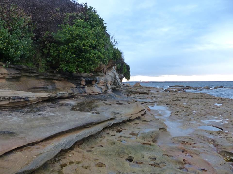
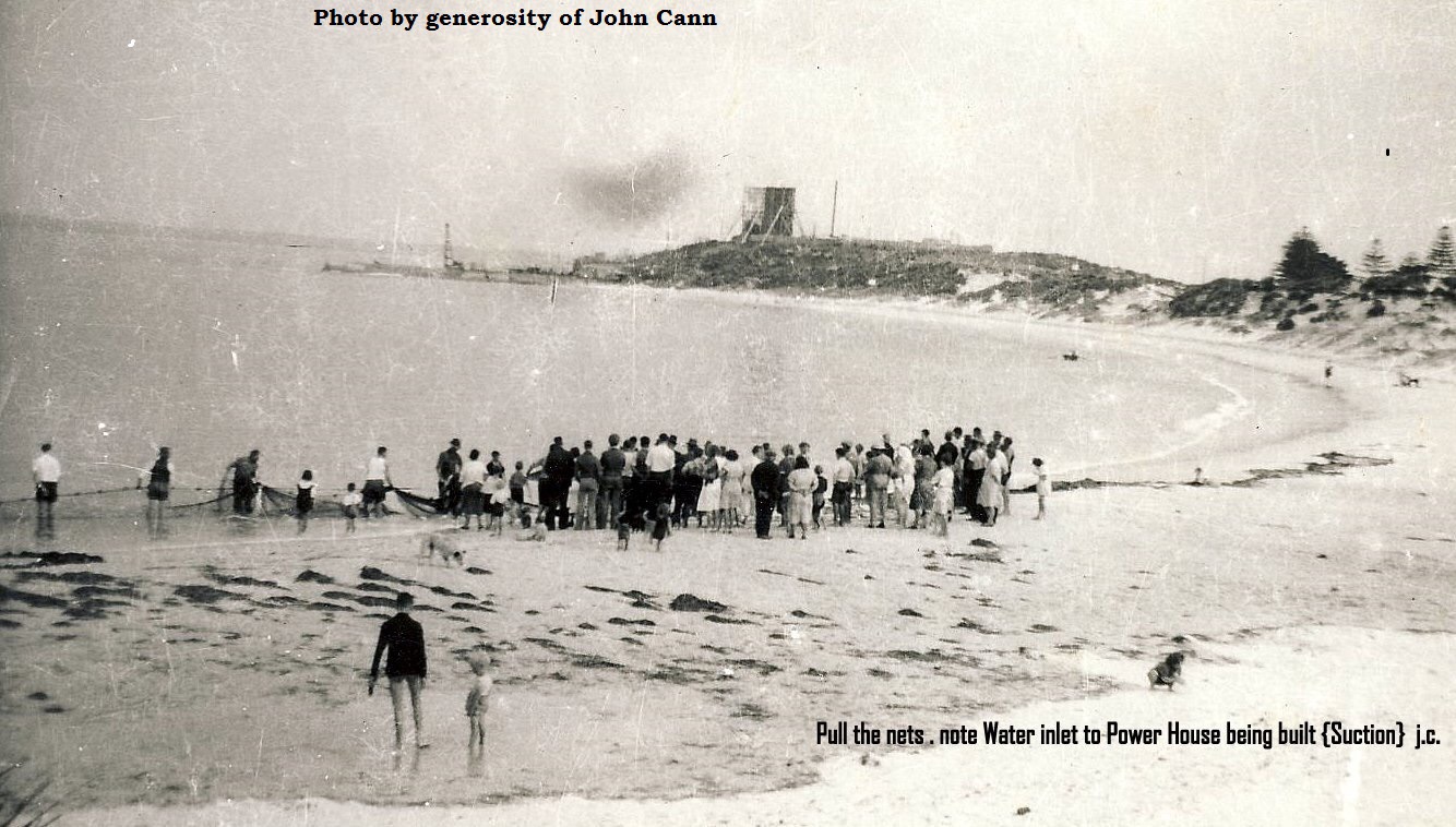
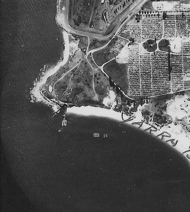
In Botany Bay the main garrison was stationed at Bumborah Point as that was the main defence point against a ship incursion of the Bay. Only a few soldiers were stationed at the La Perouse casemate, the Macquarie Watchtower (photo of the 3 tier gun casemate at Bumborah Point. Note extensive wall running to the north. This would provide for land defence against an attack from the beach). Charles Abela took photographs of the foundations of the casemate around 1960 and noted the flatness of the sand within the circle, indicating that the floor stones were still in place and likely to be buried under the hard fill deposited by the Maritime Services Board when they used the area as a compound for machinery during the construction of Banks’ Revetment Wall in the 1970s. (Photo left taken 1951, John Cann).
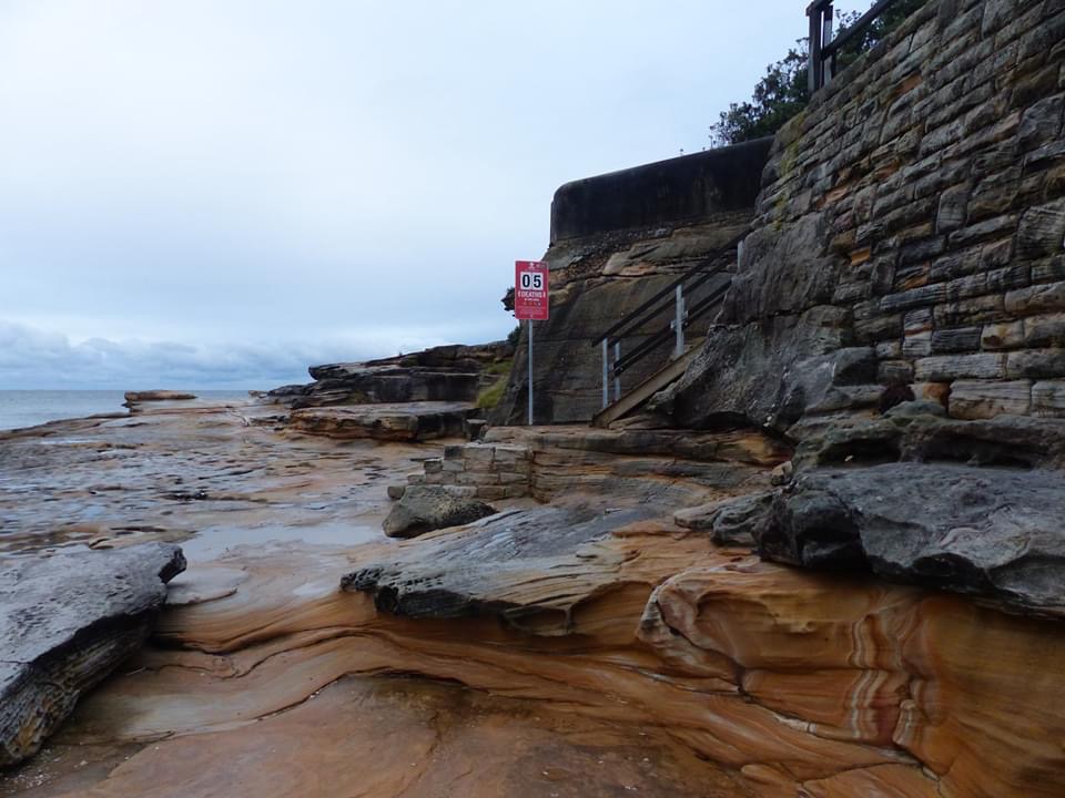
Photos below show the position of Bumborah Point, now subject to a proposal for a 3000 site expansion by Botany Cemetery.
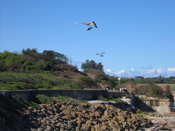
Bumborah is a recreation area. Photo left shows hangliding while other pursuits include scuba, snorkelling, swimming and fishing.
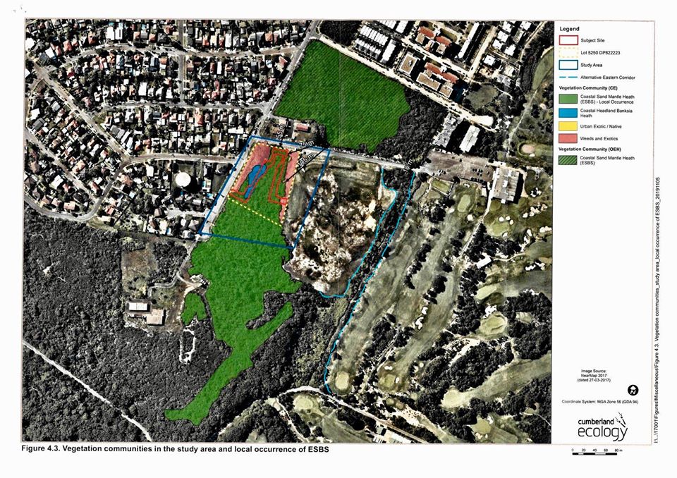
(Justice Tim Moore, Land and Environment Court Hearing 4th November 2019) and map of final layout.
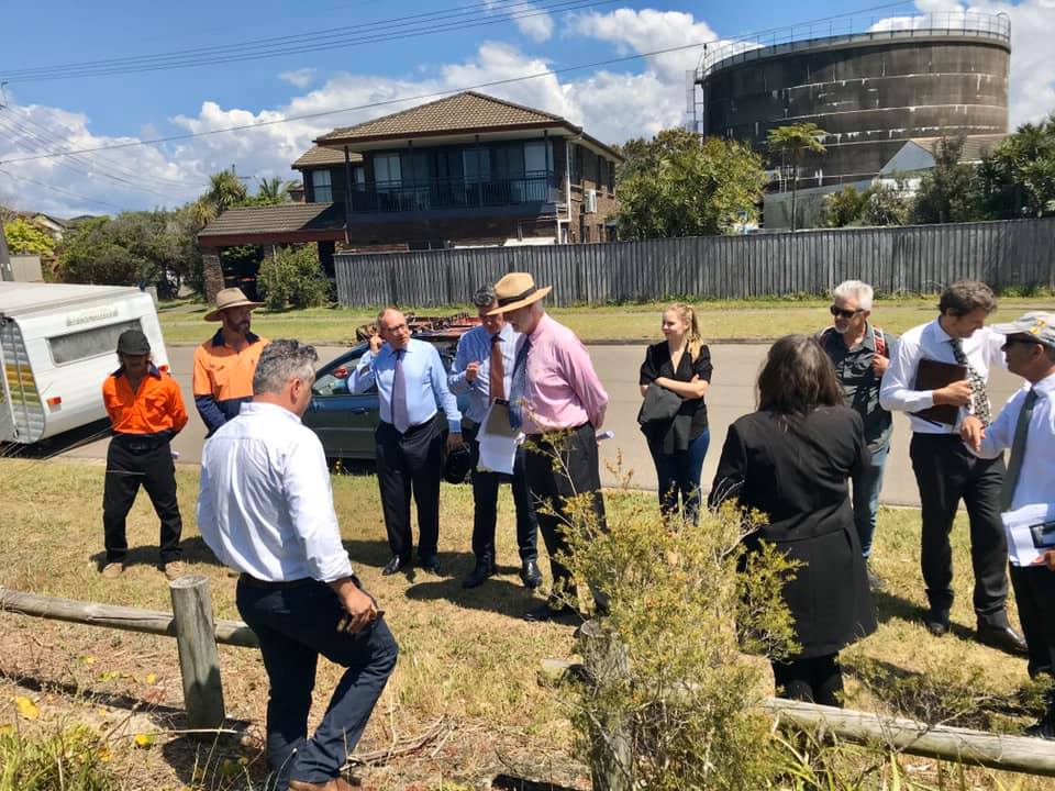
Final Hearing Day 6th November, 2019, notes: It was a full day in court with the 2 ecologists (Dr David Robertson, proponent, and Andrew McGahey, Council, questioned, mainly by Justice Moore. The main issue all along has been the ESBS (rather than impacts on neighbours, including St Michaels) and on the last day it came down to how much would be destroyed and what could be considered ESBS. Because Andrew (witness for Council) had ‘successfully’ translocated patches from remnant sites (with NPWS supporting EPBC referral) at Prince Henry it was difficult for him to argue that it couldn’t be moved. Andrew kept referring to the Scientific Committee’s definition of ESBS which strictly applies to remnants in situ undisturbed. But Justice Moore eventually satisfied himself that while there would be a loss in the short-term that within 10 years the site would be ‘better’ than it is today and that it would be functionally ESBS. Unfortunately, as this site has not been managed according to the 2004 Recovery Plan, and as translocation had been approved before, this made the argument easier. As he states in the determination, the regulator wouldn’t recognise the translocated ESBS but he and Andrew would. There was agreement to reduce the Asset Protection Zone to minimise loss and Justice Moore also mandated a full protection regime which included ecological burns. What concerns me is this: “I am satisfied, as Mr McGahey indicated, it will be entirely indistinguishable from and entirely botanically and biologically consistent with such community” . …….I think they needed an expert from the Scientific Committee to judge whether it would be ‘biologically consistent”. Does it come down to an interpretation of ‘consistent’. I don’t know but I think there could be implications for other threatened plant communities so it will be interesting to read expert commentary. There needed to be pressure on Council to resolve the zoning when the community was declared in 1997 and then under the EPBC in 1999 and certainly under the most recent LEP when in draft in 2011. To retain medium density residential zoning was absurd particularly given recommendations of the experts in the OEH. The money applied to fund legal challenges might have been used (along with a State grant) to purchase the site. There is no evidence that this was explored. It is this failing that has made it so difficult for the Land and Environment Court. Link to Land and Environment Court Decision.
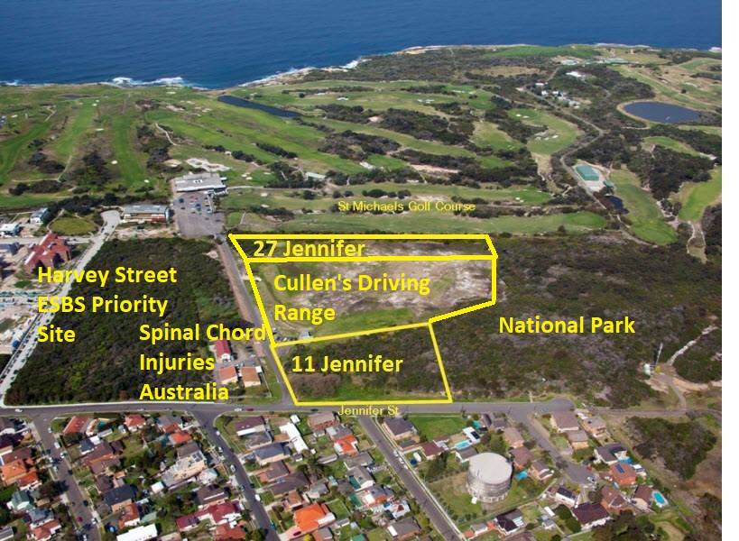
The battle on Jennifer Street to protect Critically Endangered Eastern Suburbs Banksia Scrub (ESBS) and provide habitat corridors between the National Park and Prince Henry continues. Over 1000 people have already signed a petition to protect these parcels of land. Jennifer Street ESBS was subject to an earlier battle in the 1980s which resulted in a portion of the land being incorporated into the National Park and a parcel handed to the La Perouse Local Aboriginal Land Council. The NSW Threatened Species Conservation Act 1995 (TSC) provided protection for ESBS (scheduled in 1997) and further protection was afforded Federally with the Environment Protection and Biodiversity Conservation Act 1999 (EPBC). A recovery plan was subsequently published in 2004 with landholders required to produce Plans of Management to protect sites under their protection. In December 2017, ESBS was rescheduled as Critically Endangered under the Biodiversity Conservation Act 2016 which replaced the TSC. Despite the significance of the plant community and the native fauna it supports there have been plans for medium density residential development proposed since 1999 (see SMH 2004 report “The bay of plenty that ended up returning so little“) The problem all along has been the land zoning failing to align with environmental protection legislation and poor management of the site.
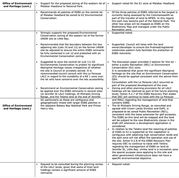
Randwick Council in the discussion paper for its Draft LEP 2011 proposed that the inappropriate zoning be addressed: “The Jennifer Street holdings, with an area of about 11,400 m2, are currently zoned 2B (Residential B). This unoccupied land contains a significant amount of ESBS and the ESBS buffer zone, as identified by the Office of Environment and Heritage (requiring more detailed investigation and confirmation). The consideration of suitable zone/s should protect the valuable natural vegetation on the site.” In the report discussed at Council 6/12/2011, pp.176-7: The OEH “Recommend an Environmental Conservation zoning be applied over the ESBS remnants in several sites (ie Jennifer St LALC holdings, St Michaels Driving Range, and the Telstra land at the end of Jennifer. St) particularly as these are contiguous and geographically linked with larger ESBS patches in the adjacent Botany Bay National Park and Prince Henry site.” Council response: ” Zoning and other planning provisions for all LALC holdings will be resolved as part of the future planning study. Action 9.2.7 of the ESBS Recovery Plan states that DEC will continue to liaise with the La Perouse and MALC regarding the management of land that contains ESBS. · The St Michaels Driving Range, as consulted and agreed with Crown Lands Division and DoPI, is proposed to be zoned Public Recreation (RE1), consistent with the lease extension for golf purposes. The ESBS on this land will be mapped and the land will be subject to the new Biodiversity clause in the draft LEP whenever a development application is considered.”
Regardless, LALC holdings remained zoned as residential medium density. Because of this failure to address the problem for the 2012 LEP, Council sent a message that it still considered the land suitable for housing rather than requiring environmental protection. After the new LEP confirmed residential zoning, Lot 11 was sold in 2012 and Lot 27 - the 4798 sqm strip adjacent St Michael’s Golf Course - was sold in December 2013 for $1.1million.
Last month an amendment to the No. 11 - Ref Number: DA/101/2018 was submitted. Background details are available on Council’s website.Anyone who opposes the development will need to make a submission. (plan for 40 dwellings as per Council webpage - on page 11 of SEE states 45 dwellings)


You must be logged in to post a comment.